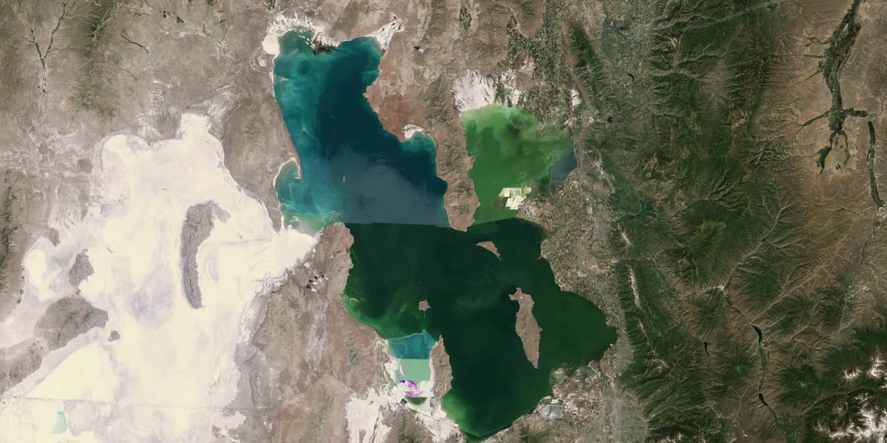
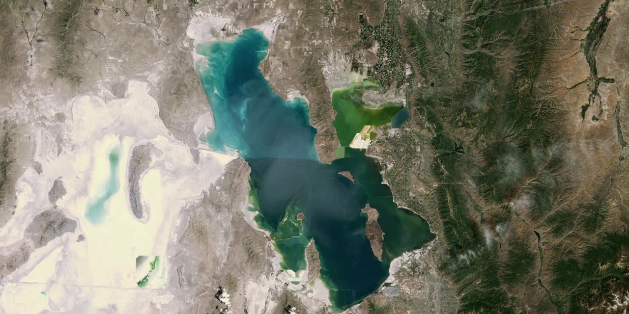
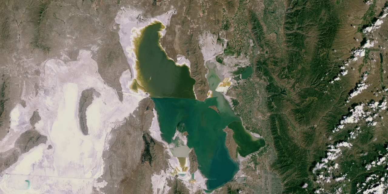
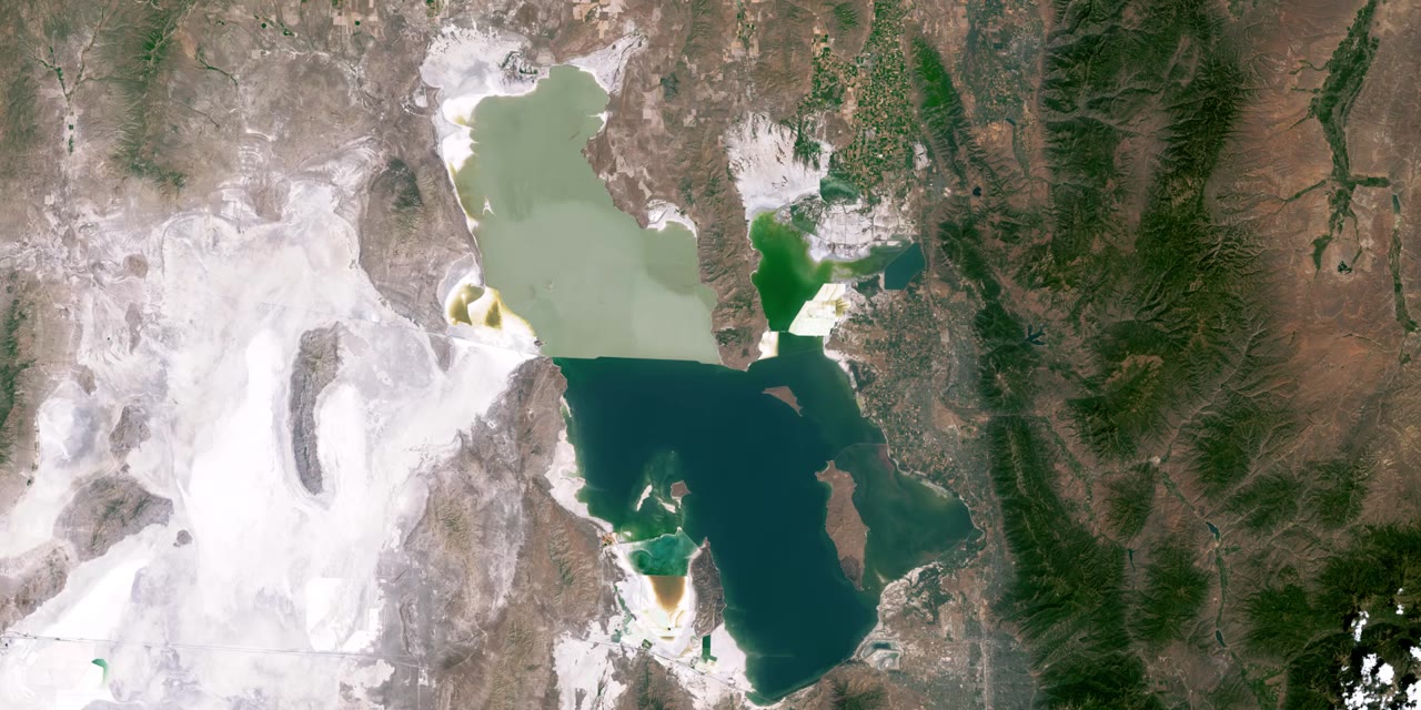
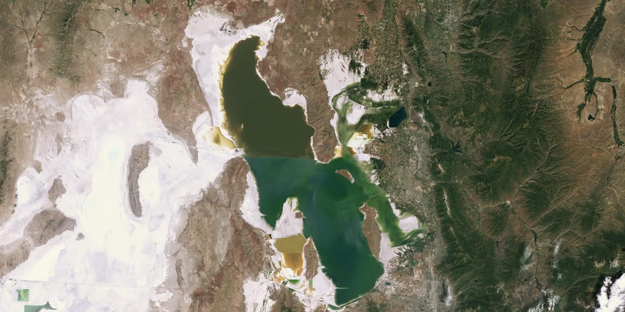
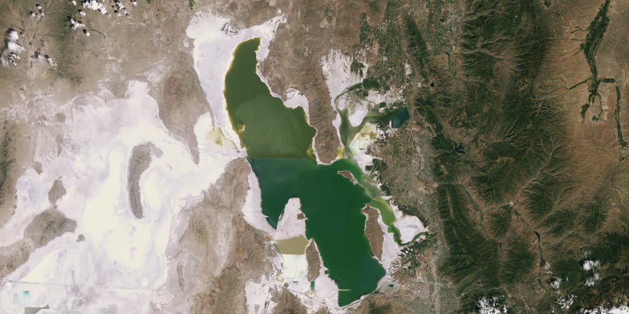
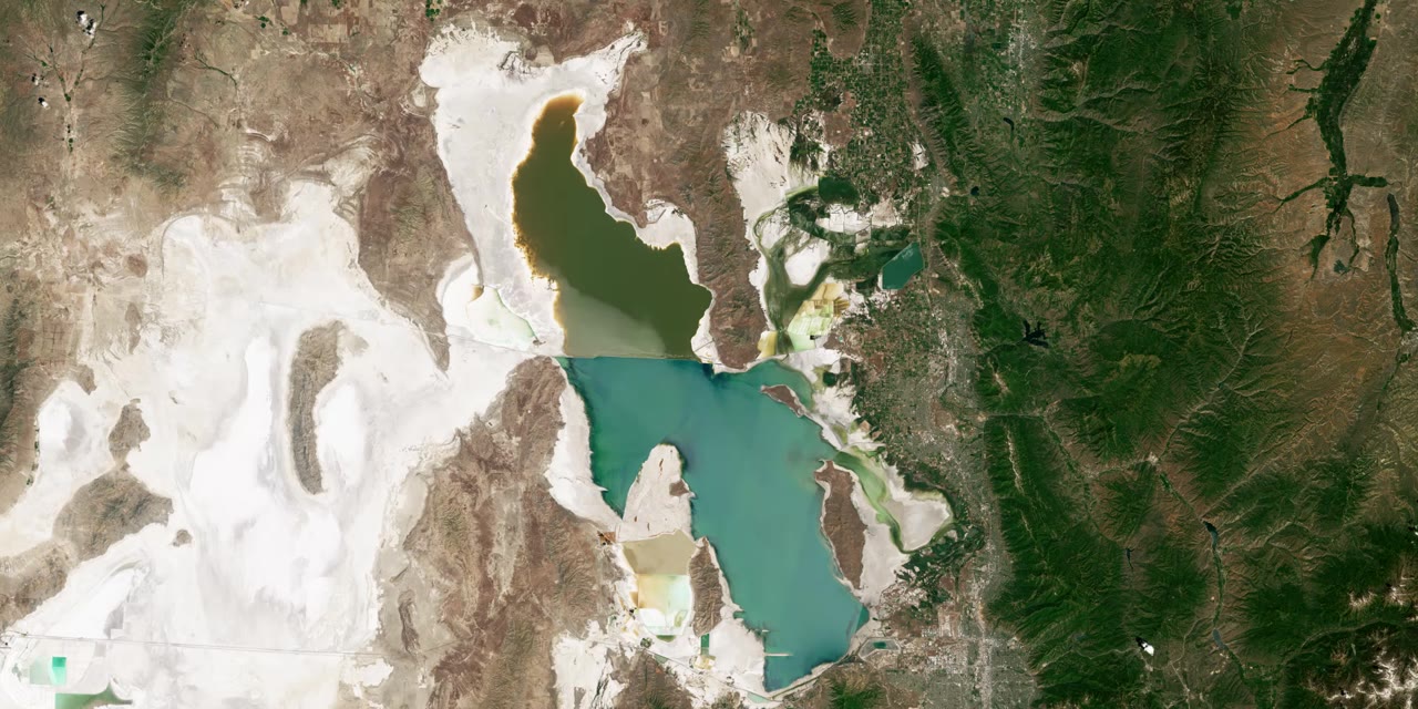
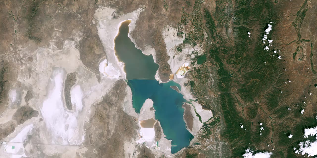
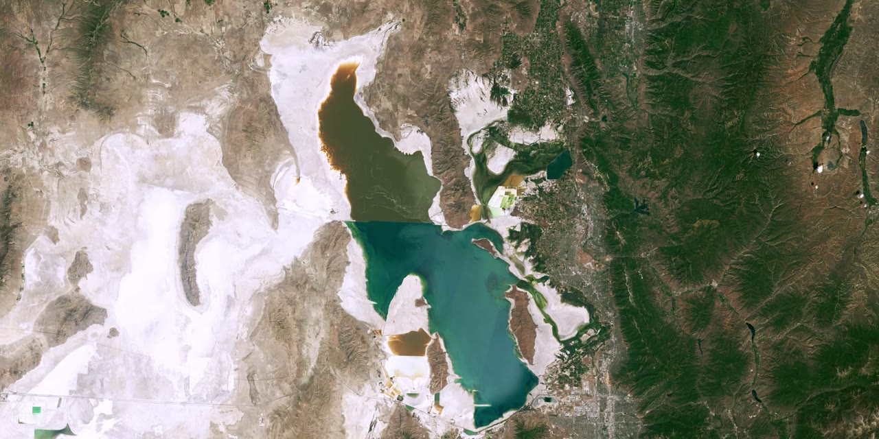
Great Salt Lake, Landsat, 1985 Great Salt Lake, Landsat, 1990 Great Salt Lake, Landsat, 1995 Great Salt Lake, Landsat, 2000 Great Salt Lake, Landsat, 2005 Great Salt Lake, Landsat, 2010 Great Salt Lake, Landsat, 2015 Great Salt Lake, Landsat, 2020 Great Salt Lake, Landsat, 2023
Landsat, 1984–2023 (latest available). NASA Scientific Visualization Studio
Route (~256 mi, 5 days)
Story Stop
Where the Water Was

The Great Salt Lake is disappearing beneath our feet.

We're running the full 256-mile perimeter of the lake over 5 days to raise awareness while there's still time to act. Along the way, this map stops at the places with real stories to tell, and the organizations already doing the work. Scroll down to follow the route and see what's at stake at each one.

64%
decline in the lake's water volume since its 1980s peak
1,300+ sq mi
of lakebed exposed since 1986, an area bigger than Rhode Island
The 4,200 Project Guidebook, Utah Rivers Council (2024), pp. 7, 14. Read the report · USGS, "Great Salt Lake 1986 and 2022," Utah Water Science Center. Source Take Action Now →
Scroll to begin
About This Run

Why we're running the Great Salt Lake

Dakota Jones is a professional ultrarunner and co-founder of Footprints, a nonprofit that helps runners turn their platforms into community climate action. This October, he's leading a group run with local changemakers around the entire Great Salt Lake, 256 miles over 5 days, starting and finishing at the Utah State Capitol.

The lake is shrinking because of climate change and decades of water policy that send more of its tributaries to farms, lawns, and cities than it can spare. As the lakebed dries out, wind lifts arsenic and other heavy metals off the exposed ground and carries them toward the same communities along the Wasatch Front, landing hardest on neighborhoods with the fewest resources to cope with it. The lake also anchors a $1.3 billion regional economy: it's critical habitat for millions of migrating birds, it feeds a brine shrimp industry sold worldwide, and its lake-effect snow adds 5–10% of Utah's snowpack, stretching the ski season by 5–7 weeks and supporting 20,000 jobs. The 4,200 Project Guidebook, Utah Rivers Council (2024), pp. 2, 18. Read the report · Great Salt Lake Commissioner's Office, "Industry and Recreation." Source

None of this is starting from zero. Utah has already made real progress on the lake. Local organizations will be joining Dakota around this route to share their stories. There's still work to be done, and this map exists to show exactly where and what you can do about it.

Explore the Route

Pick a stop, or just keep scrolling

Every pin on the map marks a real place along the route with a real story: what's at risk there, what's being done about it, and how to help. Click one to jump straight there, or keep scrolling and we'll take you through them in order, mile by mile.